Research and Evaluation
Identification and mapping of areas with high conservation values. Building on existing mapping tools, the project will research and identify the current available data layers, identify gaps and add data to inform decision making and reporting.
Expected Results:
Areas for potential OECM qualification are identified, used for improving management and reported.
+ 3.1 Mapping
Contract to develop a terrestrial atlas & story maps that includes research of past and present conditions, restoration history and outstanding future opportunities. See our Terrestrial Atlas and StoryMaps here. Completed
+ 3.2 Engagement and Identification of data gaps
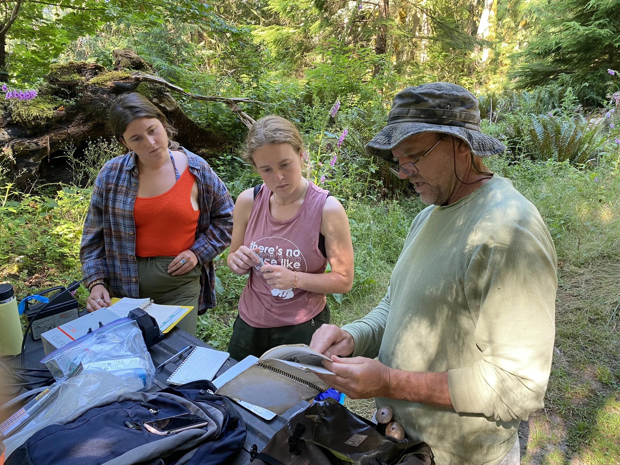
Engagement with various authorities, First Nations and collaborators through in-person and hybrid meetings to evaluate the best available data and data gaps. Completed but ongoing
+ 3.3 OECM Evaluation
Conduct evaluation of suitable sites for OECM designation. Completed
+ 3.4 OECM Documentation
Document eligible OECM sites in a spreadsheet or specifically designed database for entry as a data layer on a dedicated web map. Utilizing existing mapping tools, the specific data layers and documents that describe Átl’ka7tsem/Howe Sound’s ecology, biophysical environment, administrative boundaries, and human uses are used as decision-support tools. Listing was provided to ECCC in December and more being added to the list. Completed
+ 3.5 Wildlife Connectivity
Identify and map a network of lands to provide ecological Identify and map a network of lands to provide ecological connectivity and reduction of habitat fragmentation through the development of a joint species distribution model, assessing climate refugia in the region. Develop an indicator framework to assess the dimensions of ecosystem resilience at local/regional scales, and engage a Registered Professional Biologist (RPBio) to oversee initial stages of conservation planning. Read about this project here On Track
Key Results:
Overall at the end of the project we will have produced a report that outlines strategies, methods, and processes for achieving jurisdictional OECM status with maps of the relevant buffer zone areas included in the plan and an estimate of the full area covered in hectares; and a protocol for biosphere reserve engagement with primary stakeholders, project partners and First Nations whose involvement is critical to realize the OECM recognition.
1. Accessible online map of boundary with multiple data layers and supporting story maps
2. Eight or more data gaps areas identified
3. Four restoration sites identified and improved upon
4. Four candidate areas for OECMs identified and achieved
5. Biodiversity strategy for Squamish Valley adopted by local governments