Wildlife Connectivity Project
UN Sustainable Development Goal 15 - Life on Land

The Wildlife Connectivity project aims to reduce conflicts between human development and wildlife to benefit future generations. This is a strong example of a project that will protect biodiversity and fragile ecosystems by reducing fragmentation caused by human development.
Upon completion, the project will provide local governments with the tools to develop effective, tangible, and prescriptive policies, ensuring the appropriate use and protection of corridors. The results will also be an act of reconciliation with the Sḵwx̱wú7mesh Úxwumixw (Squamish Nation), the original stewards and knowledge-keepers of this land and the wildlife that has thrived here in the past.
Nature Squamish initiated the concept in May 2019, and we began working collaboratively with them in 2023. We contracted the Project team at the Squamish Environment Conservation Society, now known as Nature Squamish, to secure technical expertise and professional guidance, utilizing the most up-to-date methodology and processes available for this complex work. The team also secured additional project funding.
The Steering Committee guides the project and includes members of the Sḵwx̱wú7mesh Úxwumixw, Provincial Government, District of Squamish, Squamish Lillooet Region District and Squamish Community Forest. HSBRIS chairs the Committee, which has met over the course of the project. Nature Squamish convenes the Technical Working Group, which provides local knowledge and technical guidance. This multi-phased project, spanning four years, will create an adaptive model to visualize wildlife corridors and “stepping stones” for focal species. Through this model, the project team will identify the best available routes to maintain wildlife movement and ecological processes. The model will also highlight areas with an opportunity to protect, enhance, and restore habitat connectivity.
The Need
Settler disturbance (development and industry) on land that was traditionally used and stewarded by the Sḵwx̱wú7mesh Úxwumixw and other Coast Salish Peoples caused the displacement of people and animals.
This displacement of animals is significant, considering that citizen scientists have recorded over 5,238 species in the biosphere region. Animals need sufficient and appropriate habitat to live in and raise their young. Any species also moves through the habitat to find refuge, new territories and new food sources.
Squamish has grown since it was first settled and continues to be one of the fastest-growing areas in the country. The District of Squamish Bylaws and Official Community Plan reference the importance of recognizing wildlife and their habitats; yet this importance has not been considered as the town develops. In addition to losing biodiversity due to urban development, wildlife-human conflicts are likely to continue increasing if these areas are not identified and protected. There are still lands as yet undeveloped, and it is not too late for wildlife corridors to be central considerations.

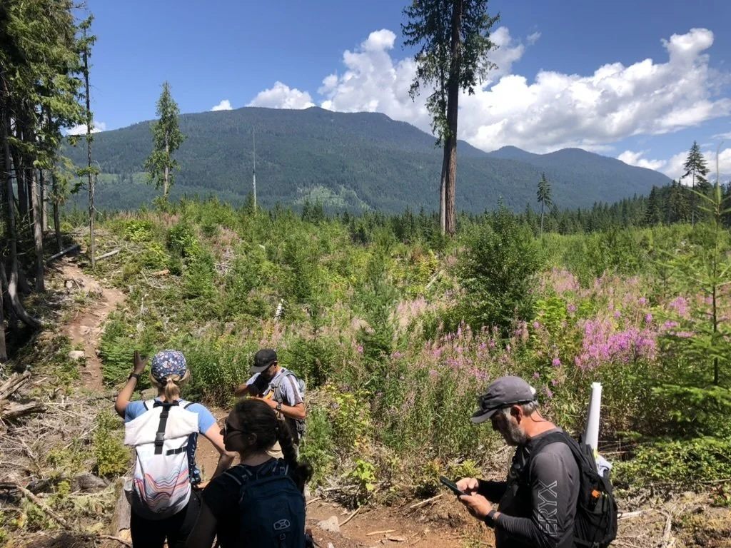
Widlife Connectivity pilot project Focal Area - March 2023
This project is located in the northern portion of the Biosphere Region including Sḵwx̱wú7mesh Úxwumixw (Squamish Nation) lands, the District of Squamish municipal boundary, and lands that fall within the Squamish-Lillooet Regional District Electoral Area D. FAQs Letters of Support
Project Updates
March 2026
The project team with Nature Squamish continues with the habitat suitability modelling and communicates with and assists partners in interpreting the project findings. This project is intended to be open science, and the under-development project website, “EcoScapes”, will serve as a portal to the wealth of information and resources developed. There are data layers on the biodiversity side, such as climate refugia and ecosystem health. The connectivity modelling work allows the viewer to visualize the habitat core areas and movement pathways between them for 20 focal species throughout the Biosphere and beyond. These models, created by the project team at Nature Squamish, have been refined over the last year to incorporate up-to-date species distribution data and feedback from project partners. In addition to a wealth of data layers, the EcoScapes website will also offer informative online courses that support land managers, recreationists, naturalists, business owners, and residents of the region in implementing the information from this incredible project. Stay tuned for the official launch of this website!
On March 6th, we hosted the project team at our Lunch and Learn session. This was the first of many public engagement sessions.
July 2025 - Project Overview Summer 2025
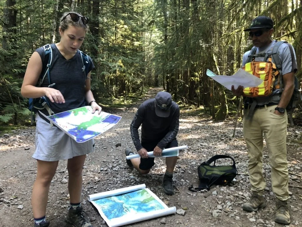
Biodiversity and ecological connectivity assessments provide the evidence needed to help land managers establish wildlife corridors across various geographic scales and jurisdictional boundaries in the Sea to Sky region. There are excellent resources to support this effort, including spatial planning tools for creating wildlife corridors at the community level and guidelines for integrating biodiversity and ecological connectivity values into existing planning tools, such as development permit areas (DPAs) and riparian management zones. This summer, the Wildlife Connectivity Project Team has focused on sharing these resources and assisting project partners with the interpretation and implementation of the project findings, including field trips to experience the core habitat areas and connectivity linkages on the land.
January 2025 - Project Overview January 2025.
With corridor design and species distribution models complete, the Wildlife Connectivity Project is well into the Connectivity Action Plan phase of the project. In September 2024, a combined steering committee and technical working group meeting was held. Work to date has included a regional assessment of ecosystem health and connectivity in the Sea-to-Sky region based on a framework of indicators developed in partnership with TerrAdapt.
April 2025 Briefing Report - Project Status brief. A Multi-Species Connectivity Model for the Sea-to-Sky Region
The Wildlife Connectivity Action Plan is in progress. A main objective of this project in the next year and beyond is to utilize the findings across land management contexts and co-develop this Connectivity Action Plan. A Communication Strategy for this project has been developed, and its implementation will be a focus for the next fiscal year as well.
September 2024 Briefing ReportAssessing Ecosystem Health and Connectivity
April 2024 - The Connectivity Modelling phase of the project is now complete. This included a baseline assessment of environmental change using a framework of indicators developed in partnership with our landscape modelling partner, TerrAdapt.org. The phase also included the development of integrated species distribution models to identify habitat use and potential pathways of wildlife movement at scales that will be relevant to land management decisions at the site level. In early April, the first Planning Workshop was held to identify a conservation vision to guide the co-development of a Wildlife Connectivity Action Plan and to discuss the scope of land management actions that could be considered to achieve this vision. Read morein the Spring 2024 Update here.
February 2024 - winter 2024 project newsletter. Work continued to assess the vulnerability of critical wildlife habitat and connectivity pathways for a range of species in the region.
The compilation and curation of available wildlife occurrence data, and terrestrial ecosystems to support species distribution modelling
Development of a biodiversity assessment framework and an application program interface to communicate the outputs of models
Indigenous engagement with Knowledge Holders to prioritize a two-eyed seeing approach to the project
August 2023 The project team started the Connectivity Modelling and Biodiversity Conservation Strategy. A steering committee and a technical working group were organized and held, and a baseline assessment of connectivity pathways for focal species began.
April 2023 Scoping Report and Project Engagement Portal were created.
Project Team is led by Murray Journeay - Squamish Environment Society Contact: mjourneay@shaw.ca
Nature Squamish, formerly the Squamish Environment Society, is a well-known environmental non-profit organization focused on wildlife and habitat preservation in the Squamish area. Their connection to the community and a group of expert volunteers has led to a change in the management of wild spaces in the region.
Media:
Squamish Chief - February 2023


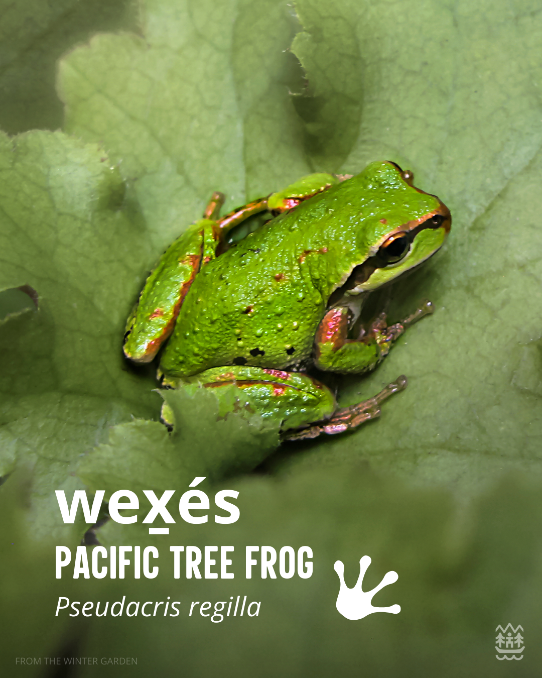
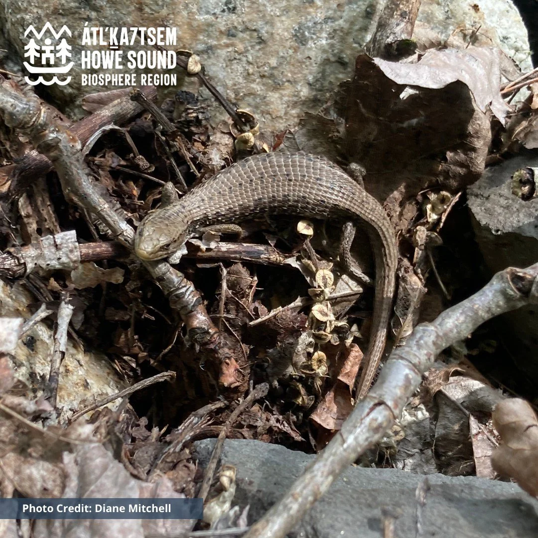
Species in focus for the project - Their habitat needs are representative of those of similar species