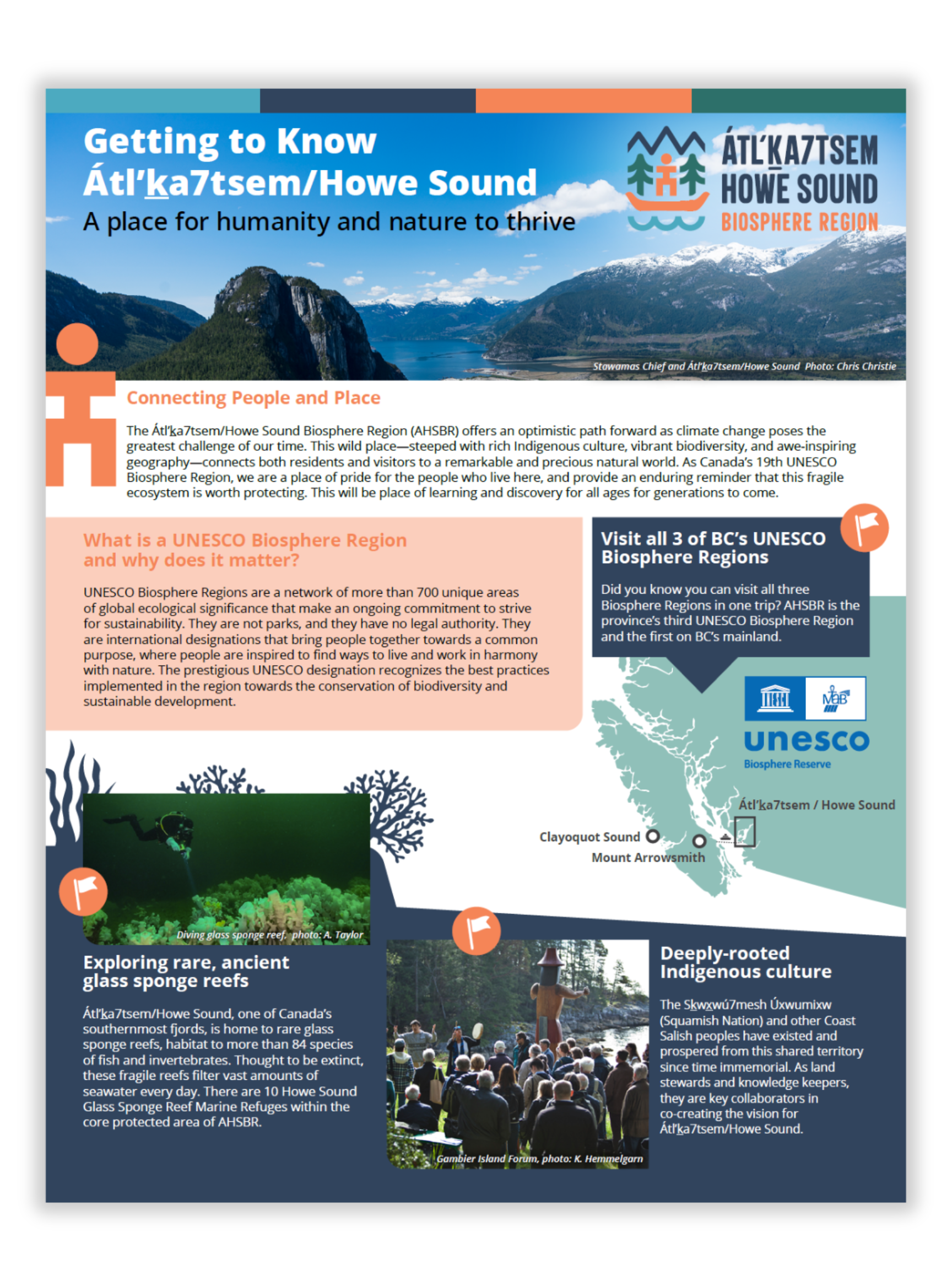
About Átl'ka7tsem / Howe Sound
Image: Overflightstock
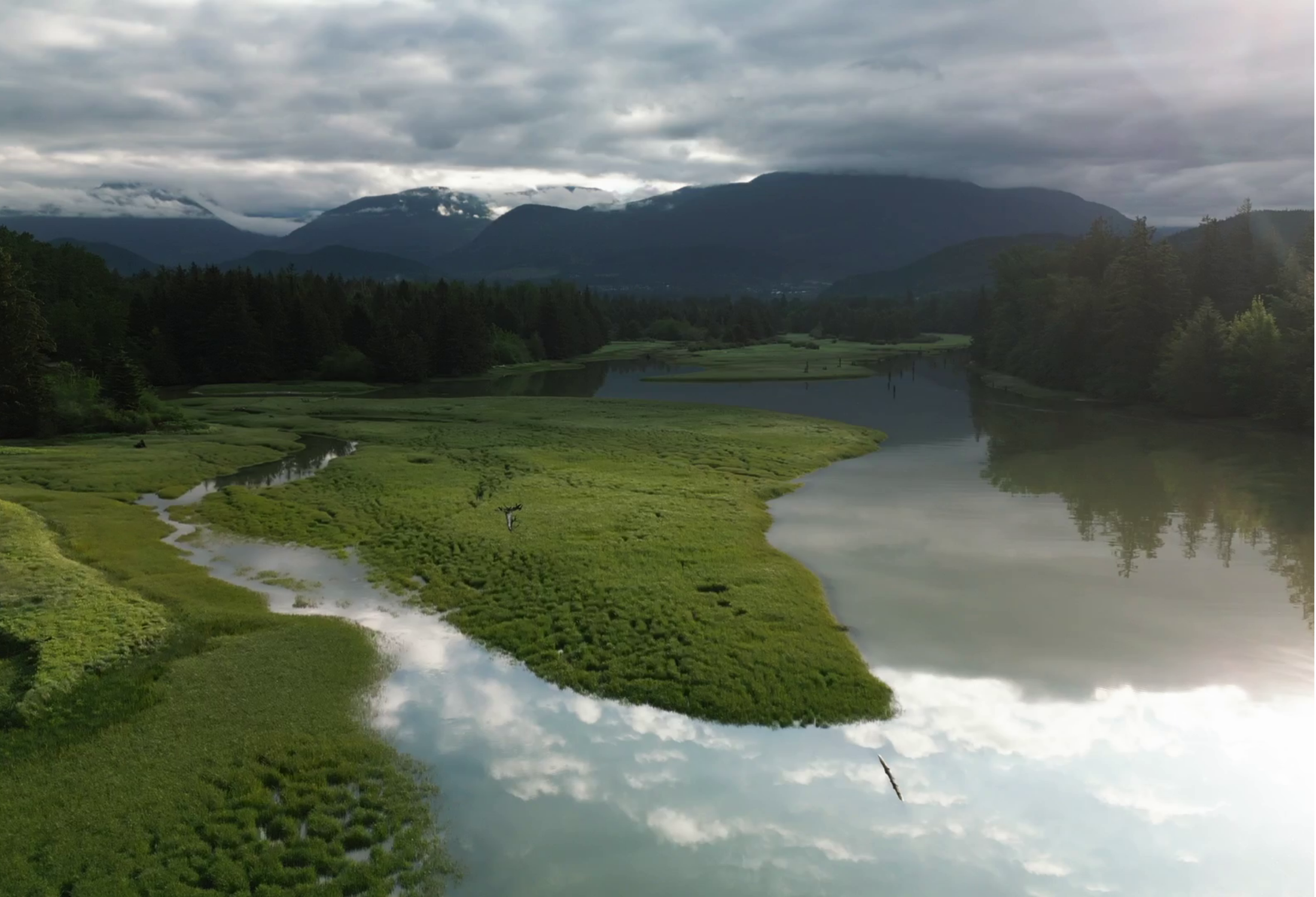
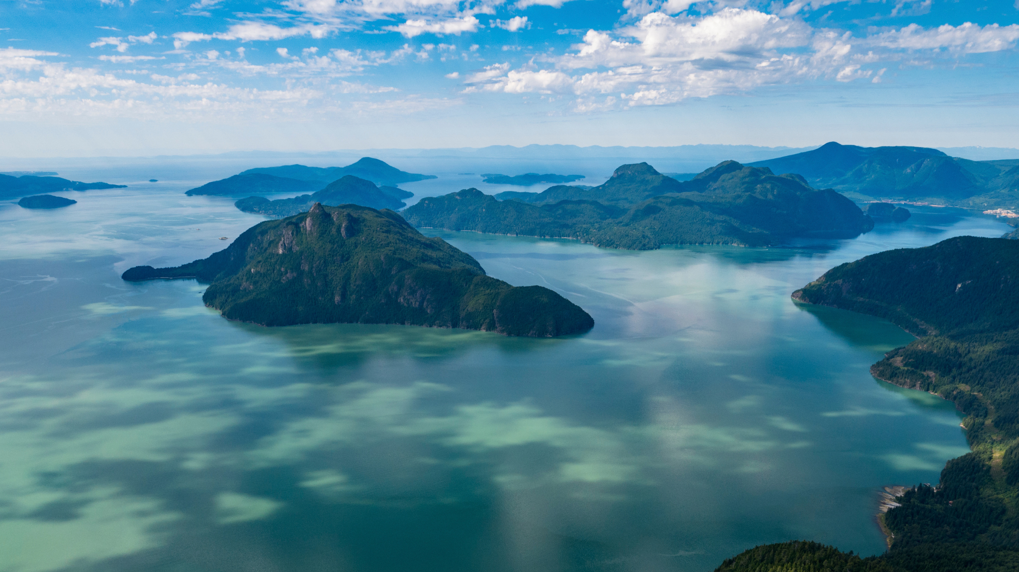
The Átl'ḵa7tsem/Howe Sound watershed…
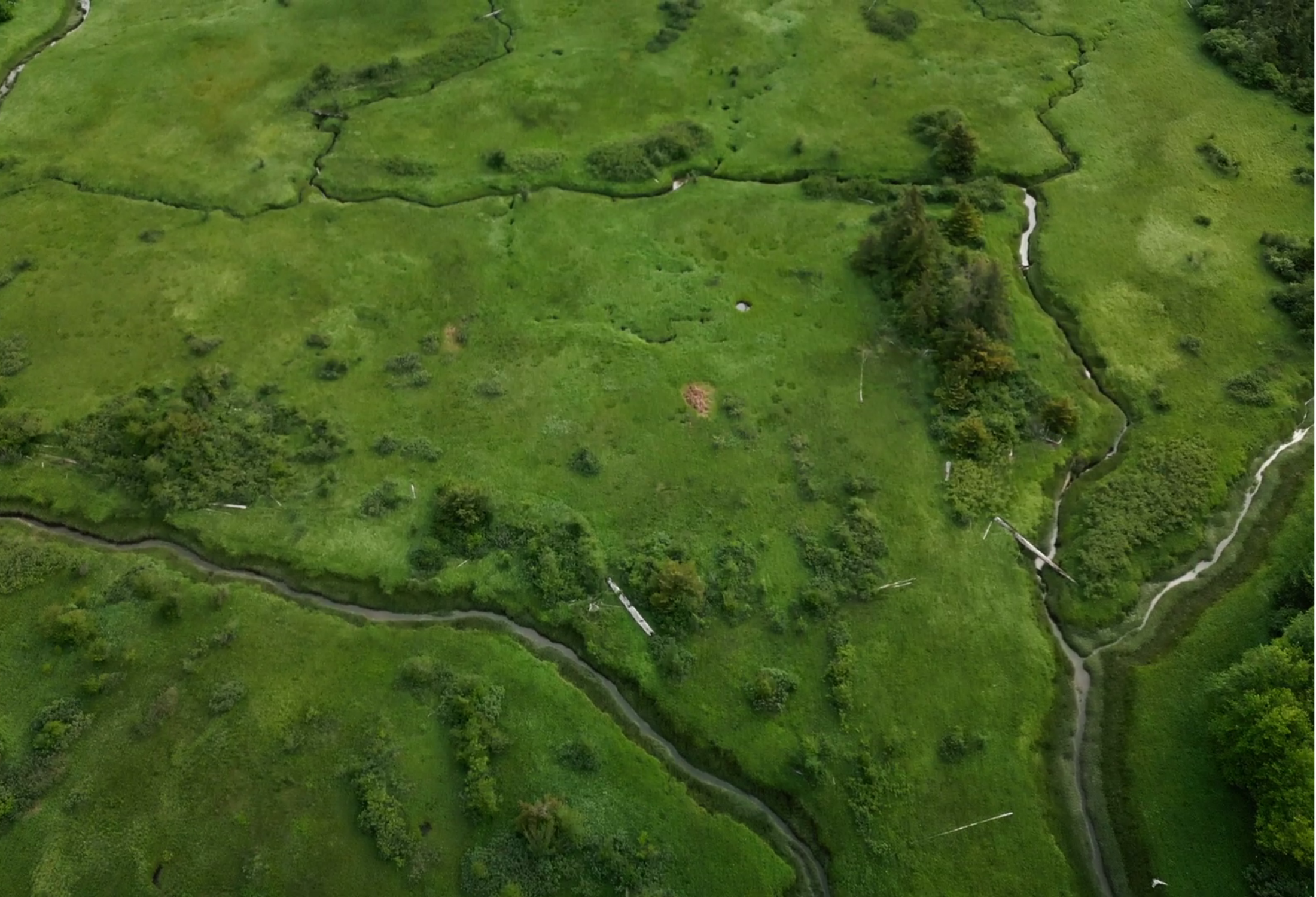
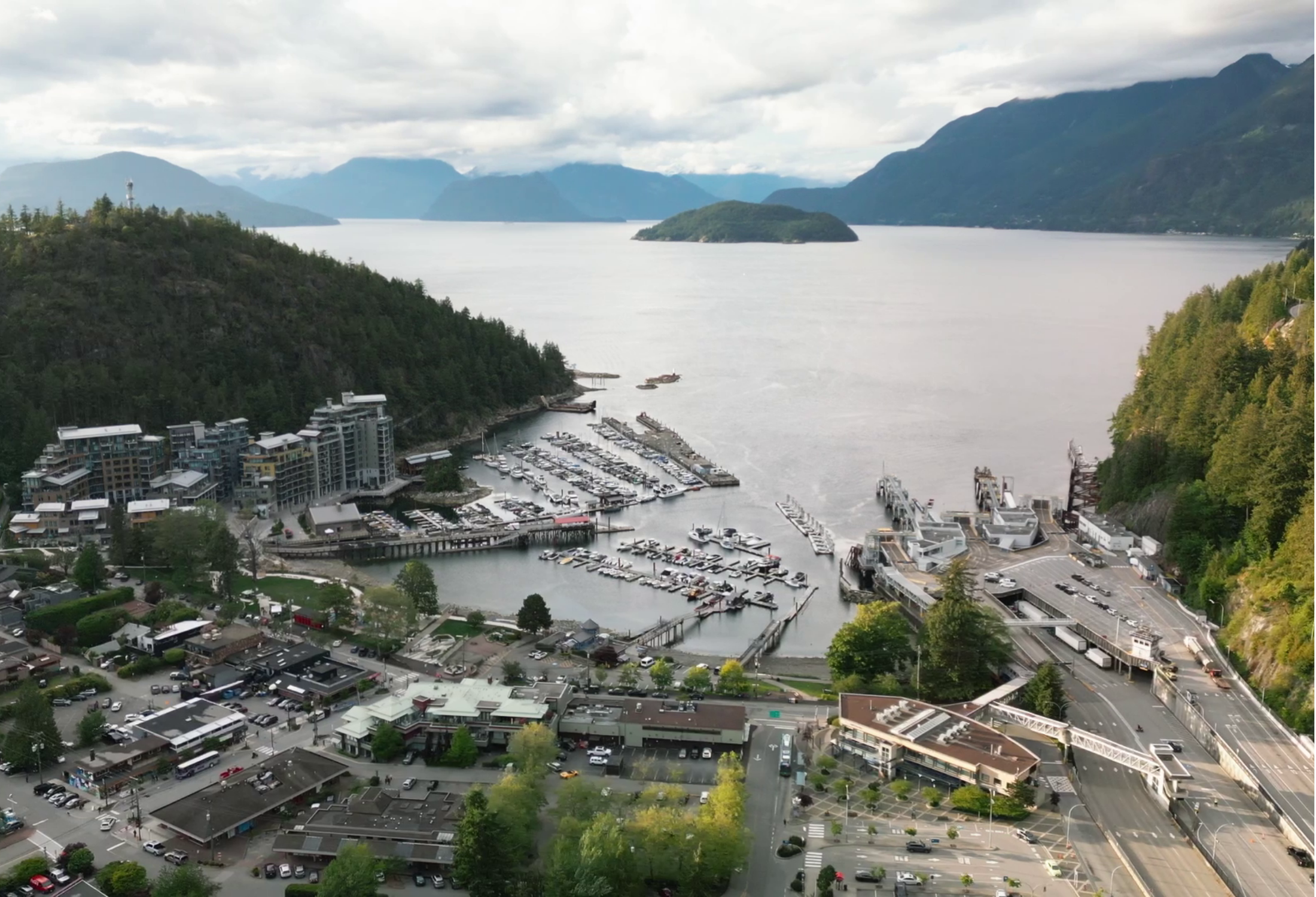
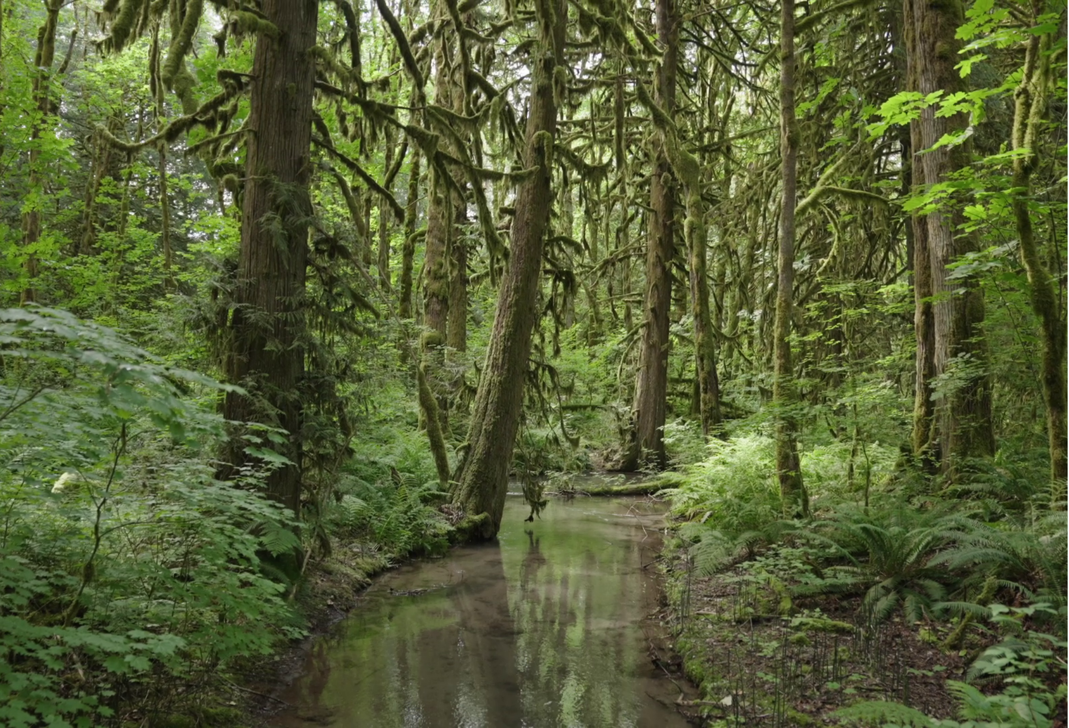
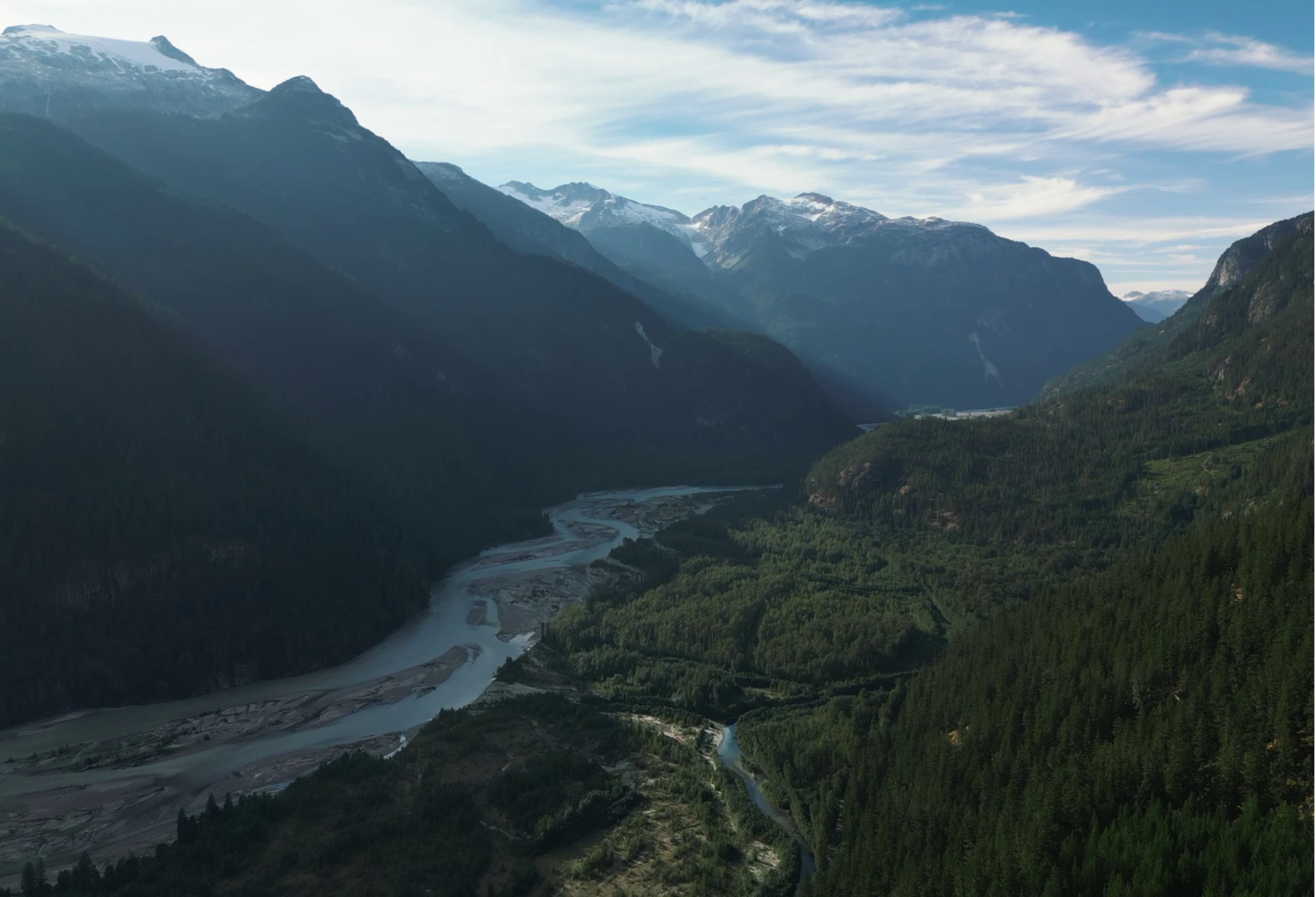
…includes a majestic fjord perched spectacularly on the edge of Metro Vancouver, British Columbia. Its landscape is dramatically scenic and encompasses remarkably diverse habitats capable of supporting over 5000 known marine and terrestrial species. This watershed provides critical ecosystem services, exceptional conservation, ecological, recreational and aesthetic values.
An integral part of the homeland of the people of the Skwxwú7mesh Uxwumixw (Squamish Nation), the region has served to provide the essentials of life for the Squamish and other Coast and Interior Salish people for the past 10,000 years or more. The marine and terrestrial resources of the Sound and its surrounding forest-clad mountains continue to be a valuable source of social and ecological goods and services for all who live in its sphere.
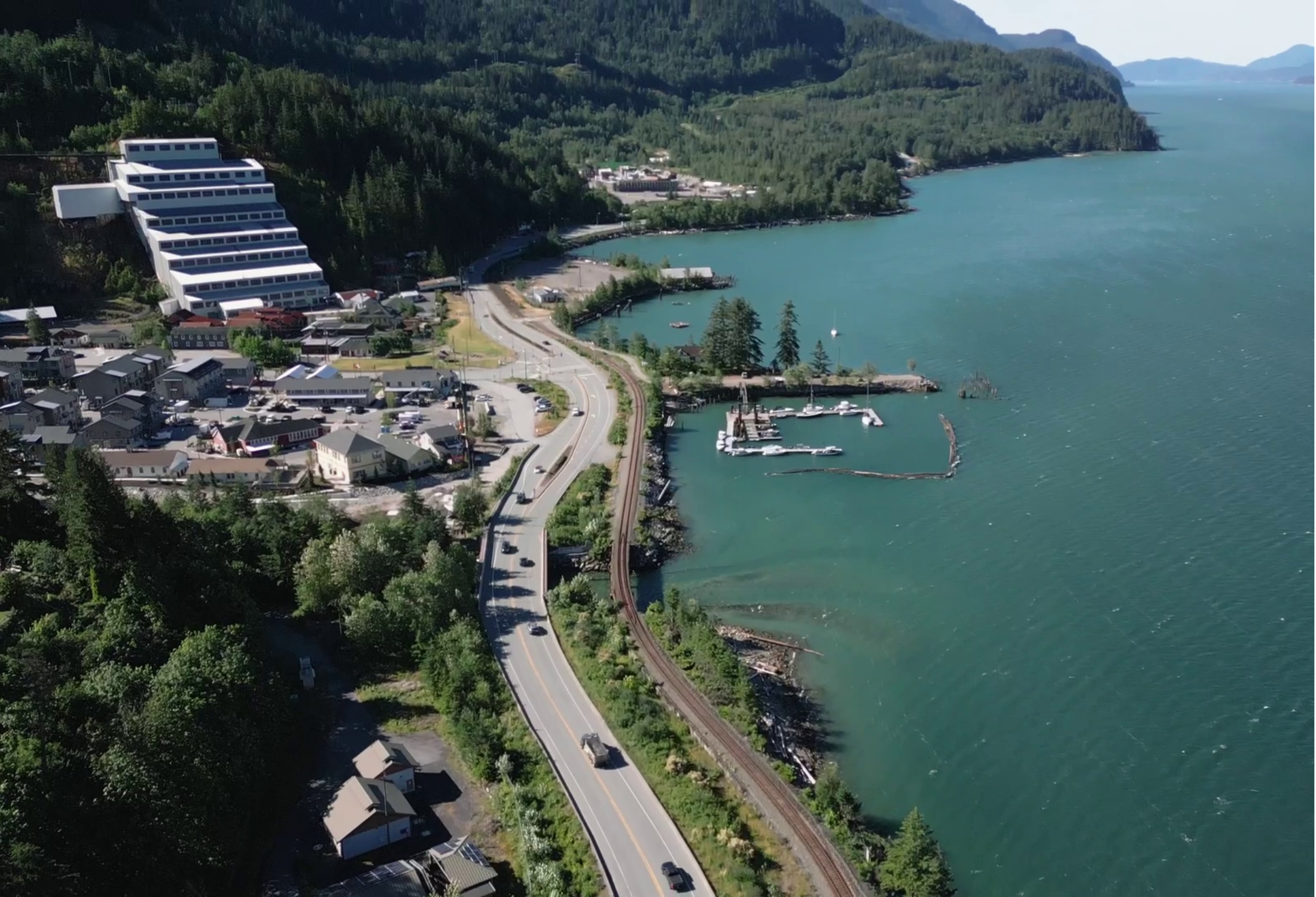
In 2021, UNESCO designated over 2,000 square kilometres – from mountain peak to ocean floor – as the Átl'ḵa7tsem / Howe Sound Biosphere Region, recognizing its global ecological significance along with its rejuvenation following almost a century of degradation from colonial, industrial harm. The biosphere region became only the 19th biosphere region in Canada and third in BC. Today, around 50,000 people live in communities hugging the coastline and millions more visit this spectacular region. Each has a role to play in shaping its future.

Zoning the Átl’ka7tsem/Howe Sound Biosphere Region
Three types of zones are required in UNESCO Biosphere Regions: Core protected areas, Buffer zones and Transition Areas. Our Core areas are the five high elevation parks, Tantalus, Garibaldi, Pinecone Burke, Cypress and Tetrahedron, the Este-Tisiwth/Sigurd Creek Conservancy, and the Howe Sound Glass Sponge Reef Marine Refuges.
The map linked above illustrates other areas of protection and land use. The boundary encompasses the partial watershed for Átl’ka7tsem/Howe Sound (which stretches north to the Pemberton Icefield), following the same area as the Provincial Cumulative Effects Assessment, from the height of land to the bottom of the ocean floor.
The biosphere region is 218,723 hectares (2,187 square kilometres), 84% terrestrial and 16% marine. 5% of the terrestrial area is privately owned or “urban,” and 89% of the terrestrial area is under the management and shared stewardship of the Province of BC and First Nations. Approximately 42% of the terrestrial area within the region is under some form of management for conservation values. This is the unceded territory of the Sḵwx̱wú7mesh Úxwumixw (Squamish Nation) people. Tseli-Waututh, Musqueam, Sto:lo, Shishalht, St’at’imc-Lillooet Tribal Council, In-shuck-ch, Katzie, Lil’wat and First Nations within the Hul'qumi'num Treaty Group have claims in the region.


The Path to Becoming Canada’s 19th UNESCO Biosphere Region

A lot of work goes into being nominated – and designated as a biosphere region. That is as it should be because it is indeed an honour to have our community recognized as a special place – by a very special organization: UNESCO. The nomination process is a challenge in itself, but actually being a biosphere region means living up to UNESCO objectives and the particular strategies of the Man and the Biosphere Programme. More than living up to UNESCO – and National – objectives, it is the expectation that all biosphere regions will participate actively in the national and international networks. The primary doors to participation are through the Canadian Biosphere Reserves Association (CBRA).
Striving to become Canada’s 19th UNESCO Biosphere Reserve required contribution and support from so many local sources, champions, and volunteers – to whom we are so grateful! After more than a year of compiling data, crafting content, curating images, and editing maps, with the support of all local governments and regional districts that govern in Howe Sound, Sḵwx̱wú7mesh Úxwumixw and the Province of BC, we proudly presented our nomination package on December 2, 2019, at the offices of the Canadian Commission for UNESCO (CCUNESCO), in Ottawa. Read more here. By April 2020 we had received comments back from reviewers appointed by CCUNESCO and our proposal was updated. Support from Fisheries and Oceans Canada was confirmed, and the final submission was sent off on July 27, 2020. On September 2nd, we received final endorsement from the Canadian Commission for UNESCO and our nomination package was sent to UNESCO in Paris for review to start the journey toward the final official designation.
In March 2021, the International Advisory Committee for Biosphere Reserves (IACBR) for the UNESCO Man and the Biosphere program reviewed our nomination package. The results of their deliberation were made known to us on June 4, 2021. We were very pleased to see the IACBR requested the MAB Secretariat to circulate the recommendation that our nomination be APPROVED to the concerned Member States. We received the confirmation letter from Secretary General for the Canadian Commission for UNESCO on June 22, 2021.
On September 15, 2021 the International Coordinating Council (ICC) APPROVED our nomination. We are very proud to now be an official UNESCO Biosphere Reserve. Read our press release here.
Letters of congratulations from Federal Government Ministers:

What happens next?
As we continue our work in Átl’ka7tsem/Howe Sound, our non-profit Society is responsible for managing and maintaining the UNESCO designation. Over 740 UNESCO Biosphere Reserves worldwide undergo rigorous 10-year periodic reviews to maintain their designation.
Howe Sound Biosphere Region Initiative Society will work toward ensuring the objectives are fulfilled so we are successful in meeting the expectations of the UNESCO framework for decades to come.
Many volunteers carry out our work; however, sustainable funding support is essential to engaging young people in this work. Funding through the nomination process has been possible through a variety of grants and donations.
We are appreciative of the past financial support received during the nomination process from the Sitka Foundation, Environment and Climate Change Canada, Canada Summer Jobs, Squamish Lillooet Regional District, Rotary Sunrise West Vancouver, North Shore Community Foundation, West Vancouver Community Foundation and individual donors.
Our ongoing programs are made possible through project donations and other sources of funding. See our Project tab for more information.
Leave a lasting impact. Your gift supports stewardship, education, and ecological resilience for years/generations to come.
It’s a powerful way to protect the place you love - now and forever.