Biosphere Terrestrial Atlas
Summary
In order to make informed decisions around land use management and conservation efforts that are holistic in nature, baseline information is required to understand the context of an area. Inspired by the Marine Reference Guide, this project aims to create an online mapping application that will include open access data related to biodiversity conservation and land use in the Biosphere Region. Data compiled in the Atlas will provide support for evidence-based decision making and help identify knowledge gaps and areas where conservation and restoration efforts could be focused.
The Need
The Biosphere Region has an extensive history of anthropogenic effects on the environment, including resource extraction, recreation, cultural uses, conservation, and restoration efforts. Although many of these activities are documented well, the data and information is spread out over various databases, formats, and names. This creates a barrier to those looking to find information specific to this region and delays decision making as the information required to make land management decisions needs to be compiled.
The Marine Reference Guide (MRG), created by the Marine Stewardship Initiative, served as inspiration for this project. The MRG is a “centralized interactive map that pulls together information about the Sound’s ocean to support informed decision-making, collaborative management, marine spatial planning, and community education”. The creation of the MRG further highlighted the importance of visualization tools and the need to develop something complementary for the terrestrial environment of Átl'ḵa7tsem/Howe Sound.
Project Objectives
Develop database and data sharing best practices guidelines
Identify high-value conservation, restoration, and cultural focus areas in the Biosphere
Collate relevant land-use, resource extraction, conservation, restoration, and general environmental data
Create an online visualization application(s) for the collated data
If you have relevant environmental, restoration, remediation, or conservation data that you would like to see hosted by this application, please reach out to Joseph at josephmoric@howesoundbri.org.
Project Updates
April/May 2024 - The first iteration of the Terrestrial Atlas has been completed and the Project Team and ESRI are underway with user acceptance testing of the web application. The application is slated to be released by June 2024.
February 2024 - The Project Team is collaborating with application developers at ESRI to develop the web mapping application that will be the Terrestrial Atlas.
August 2023 - The Project Team completed a data dictionary collating the datasets that will be displayed in the Terrestrial Atlas.
April 2023 - Research on best practices and database design has been completed to inform the development of the application. The Project Team is underway with collating relevant datasets for the Terrestrial Atlas.
Deliverables & Resources
Terrestrial Atlas Data Dictionary
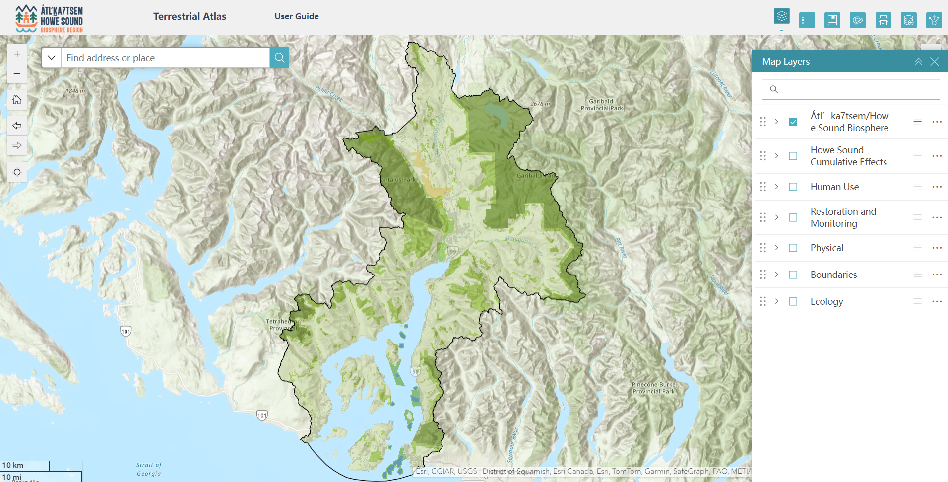
Terrestrial Atlas Web Application (to be released June 2024)

Joey Moric - Research Assistant
Project Team
If you have relevant biodiversity, land use, or conservation data that you would like to see hosted by this application, please reach out to our Research & Monitoring Coordinator Joseph at josephmoric@howesoundbri.org.